Water temperature in the United States
Atlantic 35.4 °C, Pacific 31.1 °C, Gulf of Mexico 35.9 °C. The coldest spot is Sagavanirktok River near Pump STA 3, Alaska at 1.1 °C. As of September 20, 2026, 3,230 locations from USGS, NOAA NDBC and NOAA CO-OPS.
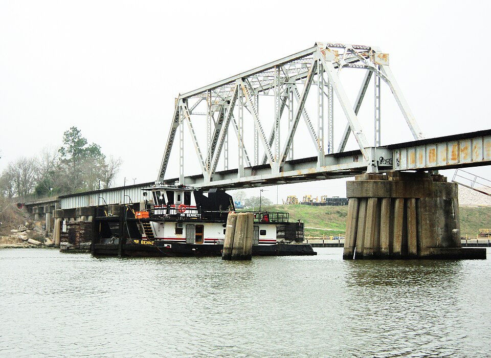
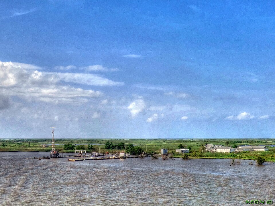
The warmest spot of each kind of water

United States, region by region
8 regions, each with today's range and its best-known spots. Tap one to open the region's list.
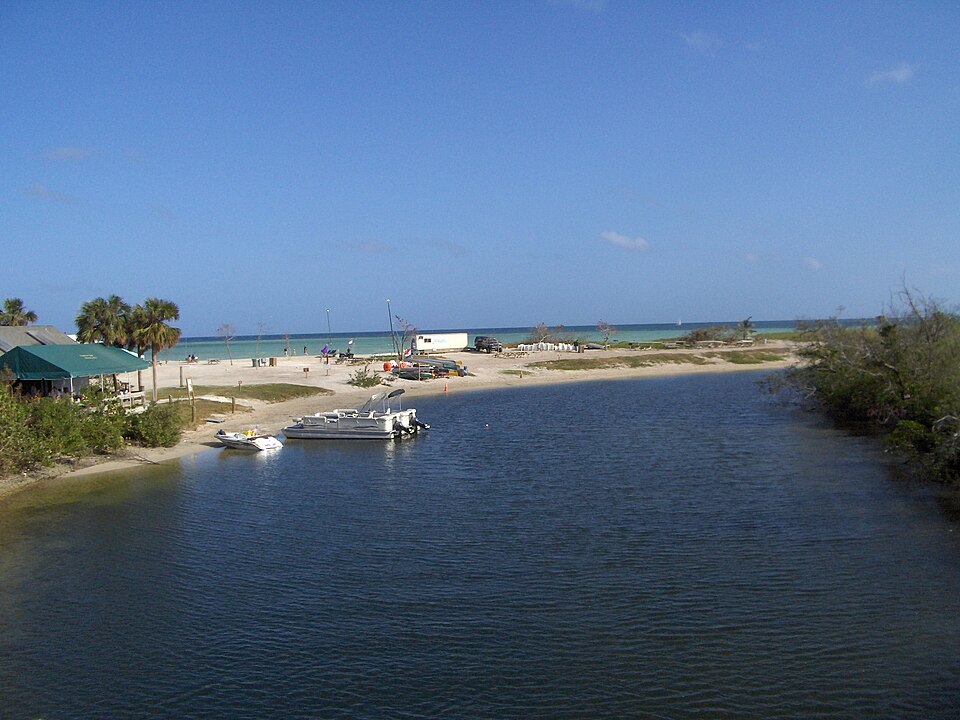
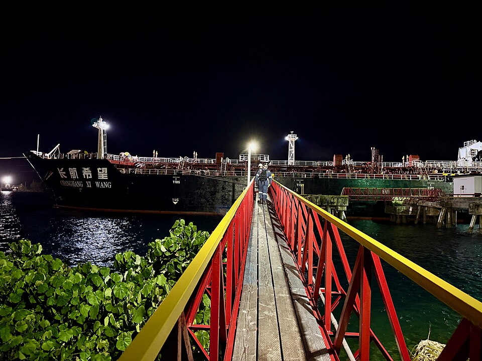
3,230 spots, 3 kinds of water
3,185 readings are measurements from official and open networks, above all USGS, NOAA NDBC and NOAA CO-OPS; 45 values come from models. Beyond temperature, this page carries 411 official bathing-water ratings, tides for 526 coastal spots, water level or discharge at 1,724 gauges and wave height at 224 buoys. Added in the last 30 days: Pacific, 205 NM SW of Honolulu, HI, Jobos Bay, Station 10 and Weeks Bay and 33 more.
© BrrChecker – all rights reserved. The compilation, texts, images and BrrScore are protected; the readings belong to the sources named. Automated extraction is not permitted.
The United States is the largest network in the app: USGS gauges on rivers from Alaska to Florida, NOAA NDBC buoys and CO-OPS tide stations on every coast, the estuary sondes of the National Estuarine Research Reserves, Chicago's beach sensors and the nearshore probes off Oahu. Add 170 beaches that carry the reading of the nearest official station within two kilometres.
By region, with today's reading
Atlantic320 spots
Pacific268 spots
Gulf of Mexico168 spots
Lake Michigan41 spots
Lake Erie40 spots
Karibik32 spots
Lake Superior15 spots
Hudson River12 spots
Other waters and lidos2,334 spots
Check first, then swim.
All 3,230 spots with history, BrrScore and alerts, free in the app.