Water temperature in Australia
River Murray 22.7 °C, Korallenmeer 29.2 °C, Pacific 26.0 °C. The coldest spot is Boundary Creek, Barongarook at 11.3 °C. As of November 16, 2026, 616 locations from Bureau of Meteorology, State of Victoria (DEECA) and Queensland Government.
- coldest 11.3°
- average 20.6°
- warmest 32.2°
 History, BrrScore and warnings for every spot – in the app.
The warmest spot of each kind of water
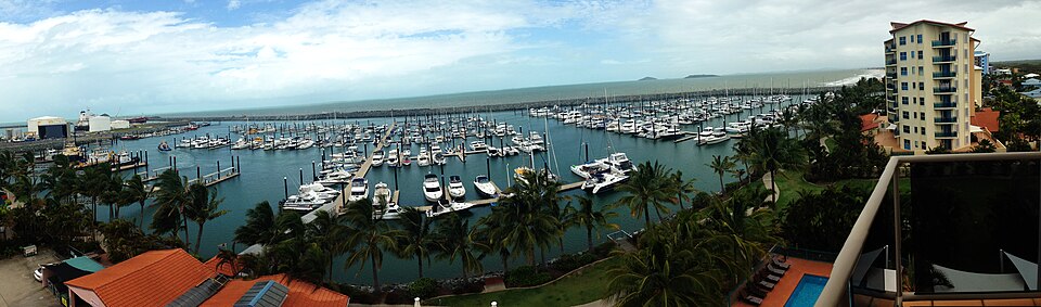
Queensland waters and the Australian coast
Australia lies in the southern hemisphere, so the swimming season runs roughly from December to February. In the tropical north, along the Coral Sea, the Gulf of Carpentaria and the Torres Strait, the water is warm all year, while the south of the continent is markedly cooler. Inland rivers such as the Condamine, Dawson, Burnett and Mary vary greatly with the wet season and can rise quickly and turn murky after heavy rain.
Most of the 188 sites are in Queensland. The Queensland Government supplies river readings from its water monitoring portal along with data from coastal wave buoys. The Australian Institute of Marine Science runs weather stations on the Great Barrier Reef, and further values come from IMOS moorings operated with SARDI off South Australia. Other states are barely represented in this dataset so far. All values here are measured rather than modelled.
On surf beaches, the rule is to swim between the red and yellow flags that mark patrolled areas, as rip currents are the main hazard on many beaches. In the tropical north, dangerous stinging jellyfish occur during the warmer months, and many beaches provide enclosures or recommend protective suits. Saltwater crocodiles live in northern rivers, estuaries and coastal waters, so warning signs must be taken seriously. State agencies and local councils monitor water quality.
Australia, region by region
8 regions, each with today's range and its best-known spots. Tap one to open the region's list.
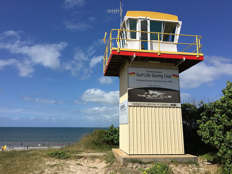
616 spots, 3 kinds of water
© BrrChecker – all rights reserved. The compilation, texts, images and BrrScore are protected; the readings belong to the sources named. Automated extraction is not permitted.
All 616 readings are measurements from official and open networks, above all Bureau of Meteorology, State of Victoria (DEECA) and Queensland Government. Beyond temperature, this page carries tides for 42 coastal spots and water level or discharge at 144 gauges. Added in the last 30 days: Goulburn River, Kirwan's Bridge, Lindsay River, Lindsay Point and Murray River, Boundary Bend and 432 more.
By region, with today's reading
River Murray27 spots
Korallenmeer17 spots
Pacific13 spots
Murray River12 spots
Lake Alexandrina9 spots
Barwon River8 spots
Golf von Carpentaria6 spots
Condamine River6 spots
Other waters and lidos518 spots


Check first, then swim.
All 616 spots with history, BrrScore and alerts, free in the app.